


EduAsiaNews, Surabaya – Amid the rising frequency and intensity of disasters across Indonesia, post-disaster recovery has become increasingly complex and multidimensional. Physical damage visible on the surface often represents only a small portion of the overall impact, as disasters also leave long-term effects on social, economic, and environmental systems. This situation calls for recovery approaches that are not only swift, but also precise and sustainable. In this context, the use of geospatial data is crucial, as it provides a comprehensive spatial perspective to support science-based decision-making.
Responding to this challenge, the Institut Teknologi Sepuluh Nopember (ITS) has taken on a strategic role within the Consortium of Higher Education Institutions for Post-Disaster Rehabilitation and Reconstruction. ITS’s involvement highlights the importance of universities in bridging scientific knowledge with recovery practices on the ground, particularly through geospatial analysis capable of mapping disaster impacts in a detailed and measurable manner.
The consortium was established by the Ministry of Higher Education, Science, and Technology (Kemdiktisaintek) in collaboration with the Council of Rectors of Indonesian State Universities as a national, science-based platform for academic collaboration. Within this structure, ITS has been entrusted as the Coordinator of the Geospatial Working Group, placing the university at the forefront of integrating diverse spatial data sources to develop a comprehensive understanding of damage levels, vulnerability patterns, and post-disaster landscape dynamics that underpin recovery planning.
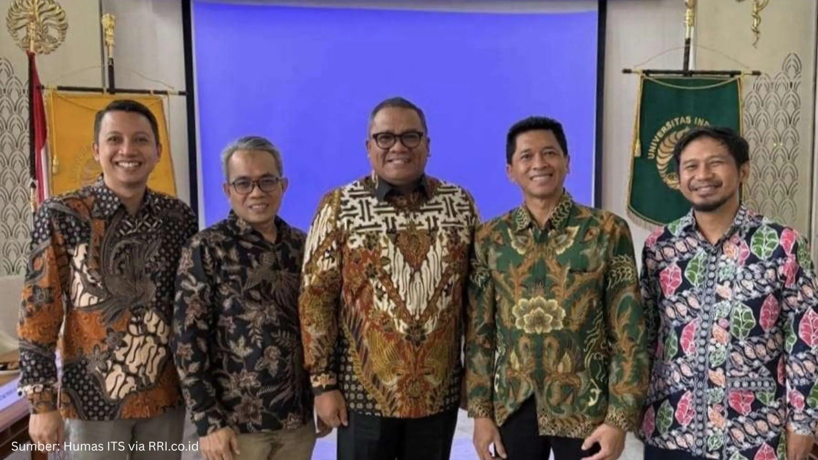
ITS Rector Bambang Pramujati stressed that recovery efforts cannot follow a uniform approach, but must instead be based on risk levels and regional characteristics, as reported by Harian Bhirawa. To support this approach, ITS employs high-resolution geospatial mapping to identify damage severity, vulnerability zoning, and landscape changes. These analyses serve as the basis for determining safe locations, setting reconstruction priorities, and designing more accurate mitigation measures against secondary disaster risks.
In addition, ITS also acts as Sub-Coordinator of the Housing and Settlement Working Group by developing a risk-based housing assessment system integrated with spatial planning. The design of both temporary and permanent housing is informed by spatial analysis to ensure that recovery not only restores residential functions, but also strengthens community resilience to future disasters. This approach is reinforced by field findings from the ITS Humanitarian Task Force, which has been deployed to disaster-affected areas since December 2025 and whose observations are integrated with academic studies.
Related reading: Minister Nusron Assures Budget Is Not an Obstacle, Permanent Housing Land in Sumatra Ready for Implementation
Through this consortium, ITS has produced a range of scientific outputs, including integrated risk maps, rehabilitation and reconstruction monitoring dashboards, technical recommendations for housing and infrastructure, and policy briefs for central and regional governments. All outputs are developed on a scientific basis to ensure that recovery funds are used more effectively and sustainably, while positioning geospatial data and analysis as a long-term foundation for strengthening the resilience of Indonesia’s regions and communities.