




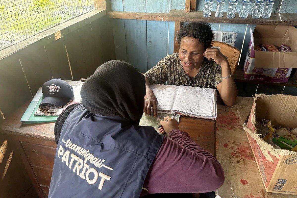
EduAsiaNews, Senggi Keerom, Papua – A Diponegoro University (Undip) team spent August and September collecting population data and mapping environmental conditions in settlement units (SP) 1 and 2 of the Senggi transmigration area in Keerom regency, Papua. The Undip Patriot Expedition Team (TEP), Team 9, carried out the work.
The team visited homes to gather information on residents’ characteristics, land ownership, housing conditions and access to education and health facilities. Data were collected through questionnaires, with each house’s location recorded using geotagging.
Residents were also asked to help identify environmental problems near their homes. The activities are part of developing a spatial-based information system to optimize education and health services in the Senggi transmigration area.
Spatial population data
The team interviewed residents in SP 1 and SP 2 using questionnaires covering every family member in each household, giving a picture of the population’s characteristics in each settlement. The questionnaires also gathered information on land ownership, housing conditions and access to basic services.
Each household’s data was then linked to the coordinates of its home through geotagging, allowing the distribution of residents and settlement characteristics to be displayed spatially. The information will be combined with data on education and health facilities to complete the database of the Senggi WebGIS, a web-based geographic information system.
Participatory mapping
During the visits, the team also identified environmental conditions through direct discussions. Residents described problems they face in daily life, such as damaged roads and bridges, missing or poorly functioning drainage and places that flood when it rains. They were asked to point out the locations so the problems could be recorded and mapped.
The information helps the team identify parts of the settlements that need attention, including routes used for daily activities and access to basic services. Residents’ involvement is important because their experience complements the team’s field observations. The information will be processed as part of spatial data describing conditions in the transmigration area.
Residents welcome digital map
Residents responded positively. Mary, a community health volunteer in SP 2, praised the program.
“The program is very good. I want to be given a copy when the map is finished,” she said.
The remark shows her interest in the results, which are expected to be a source of information that residents and related parties can access again. Input from residents is also part of the process so the map reflects settlement conditions based on their experience.
Field data for the WebGIS
The population and environmental data will be combined with information on the location and distribution of education and health facilities. All of it will be processed and validated before being displayed on the Senggi WebGIS so that it matches conditions on the ground.
Through the system, information on population distribution, house locations, settlement conditions and basic service facilities can be presented on one platform. This is expected to help show the link between where people live and the availability of education and health facilities. The database can be developed and updated as conditions in the area change.
The WebGIS is expected to serve as supporting information for planning and developing basic services in the transmigration area. The project supports Sustainable Development Goal (SDG) 3 on good health and well-being through information on health facilities, and SDG 4 on quality education through the mapping of education facilities. Mapping of settlements and the environment relates to SDG 11 on sustainable cities and communities, while residents’ involvement in data collection supports SDG 17 on partnerships through community participation in developing the geographic information system.