




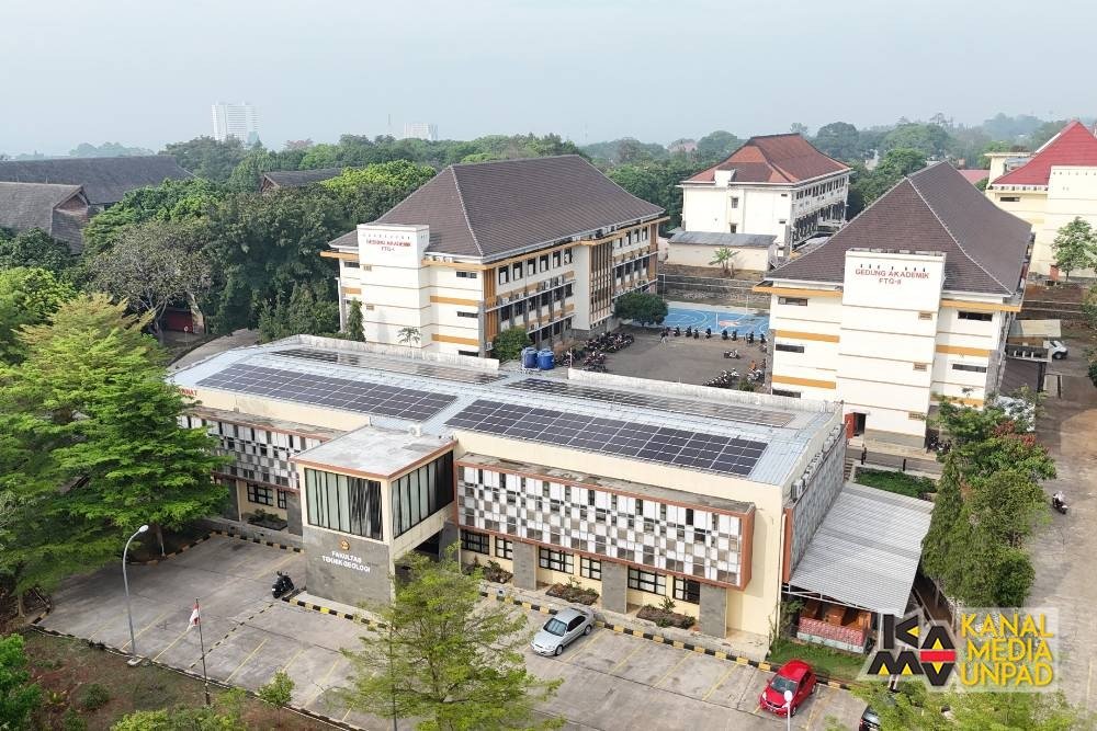
EduAsiaNews, Bandung – A series of geological disasters occurring in Indonesia, including earthquakes and increased volcanic activity, serves as an important reminder of the need for community preparedness in responding to potential disasters. In this regard, volcanic activity in Indonesia has been intensively monitored as part of disaster mitigation efforts. This was stated by Prof. Nana Sulaksana, Professor at the Faculty of Geological Engineering (FTG), Universitas Padjadjaran (Unpad).
Prof. Nana explained that volcanic activity is monitored through various variables to identify changes in volcanic conditions prior to an eruption. These monitoring efforts include seismic activity to observe magma movement, measurements of volcanic body deformation using geodetic instruments connected to GPS, visual observations, CCTV monitoring, and multi-gas analysis.
“In brief, all variables indicating the potential for an eruption have been optimally utilized in volcanic monitoring in Indonesia,” said Prof. Nana.
He explained that increased seismic activity and deformation of a volcano can serve as indicators of changes in magma activity. Visual observations are also an important component, including monitoring changes in the plumes emitted from the crater. In addition, the eruption history and geological conditions of a volcano serve as references for volcanologists in determining the status of volcanic activity.
According to Prof. Nana, the monitoring and mitigation measures implemented by the Center for Volcanology and Geological Hazard Mitigation (PVMBG) have been carried out in accordance with established procedures. He also emphasized the importance of providing volcanic hazard-zone maps as a reference for communities in determining safe areas and distances from volcanoes.
“For communities, the Center for Volcanology has accurately and appropriately developed Volcanic Hazard Zone maps. These are the maps that should serve as the basis for communities in observing safe distances from volcanoes,” he said.
Prof. Nana also emphasized that increased activity at several volcanoes occurring within a relatively short period does not necessarily indicate a direct relationship among them. Each volcano has its own geological system, including the depth of its magma chamber, magma pathways, and the composition and characteristics of its magma.
Furthermore, Indonesia’s geological setting, situated at the convergence of three tectonic plates and forming part of the Pacific Ring of Fire, gives the country a high level of exposure to various geological hazards, including earthquakes and volcanic eruptions. At the same time, this geological setting also provides significant natural resource potential, including geothermal energy and mineral resources.
“Given our geological position, we must continuously strengthen disaster preparedness and build a disaster-resilient society,” Prof. Nana explained.
In the context of mitigation, Prof. Nana also commended the coordination between PVMBG and aviation authorities in responding to volcanic activity. He said that such measures demonstrate the implementation of an early warning system that prioritizes the safety of both communities and aviation.
Public communication must also continue to be strengthened, particularly regarding the health impacts of volcanic ash. Communities are advised to wear masks and eye protection when engaging in outdoor activities, as volcanic ash contains materials that can pose risks to the respiratory system and eyes.
“What is continuously needed is to remind and even educate the public, including schoolchildren from an early age, about disaster preparedness in the areas where they live, so that a disaster-resilient society can be established,” he said.
(R02)